
Southwest Alaska Airports
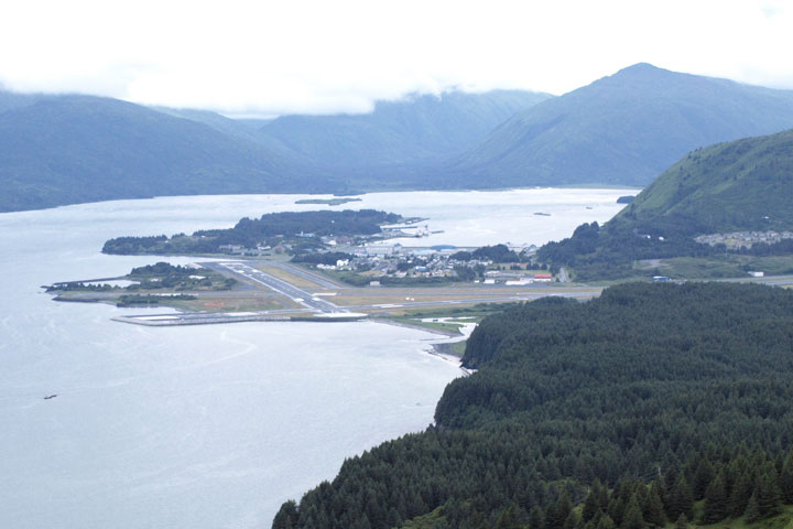 Primary airports shown on this southwestern Alaska map include
the Dillingham Airport,
the King Salmon Airport,
the Kodiak Airport, and
the Unalaska Airport.
Primary airports shown on this southwestern Alaska map include
the Dillingham Airport,
the King Salmon Airport,
the Kodiak Airport, and
the Unalaska Airport.
FAA Southwestern Alaska Airport Locator Map
This southwestern Alaska airport map shows commercial service airports, reliever airports, and general aviation airports in southwestern Alaska. Primary airports are designated with an airplane symbol.

Copyright © State-Maps.org. All rights reserved.
Alaska airport map source: FAA 2001-2005 NPIAS.
Alaska airport map source: FAA 2001-2005 NPIAS.