
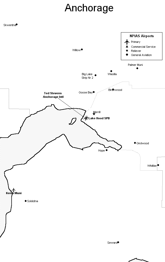
Anchorage, Alaska Airports
 The primary airports shown on this Anchorage area map include
the Anchorage International Airport,
the Lake Hood Seaplane Base,
the Kenai Municipal Airport, and
the Merrill Field in Anchorage.
The primary airports shown on this Anchorage area map include
the Anchorage International Airport,
the Lake Hood Seaplane Base,
the Kenai Municipal Airport, and
the Merrill Field in Anchorage.
FAA Anchorage, Alaska Airport Locator Map
This Anchorage, Alaska airport map shows commercial service airports, reliever airports, and general aviation airports in the Anchorage area. Primary airports are designated with an airplane symbol.
Copyright © State-Maps.org. All rights reserved.
Alaska airport map source: FAA 2001-2005 NPIAS.
Alaska airport map source: FAA 2001-2005 NPIAS.